During the work carried out at the KORICANCHA, we conducted topographic surveys of the Santo Domingo Convent, using the Universal Transverse Mercator (UTM) system as the reference, zone 19, with elevations above mean sea level provided by differential leveling performed by the National Geographic Institute (IGN) of Peru in 1970. We used an Electronic Tachymeter (total station) by LEICA, Model TC-650, with a precision of +/- 5 mm plus 5 ppm in distance. A Distancemeter by WILL, Model DI-4L, integrated into a Theodolite by WILL, Model T2, with a distance precision of +/- 5 mm, was also used.
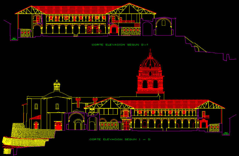
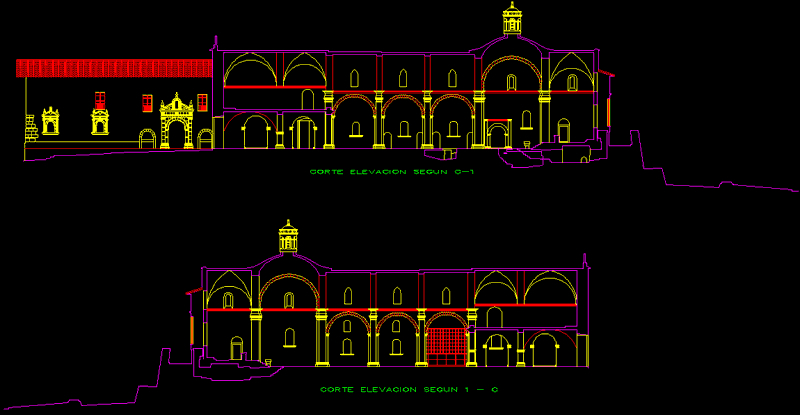
1. Digital Survey of the Floor Plans of the Church, the First and Second Cloisters of the Convent; First and Second Floors, Roofs, and Ceilings of the Church and the two Cloisters. 2. Digital Survey of the Koricancha – Site Museum, showing all visible details such as Terraces, Pathways, Stairs, etc., with contour lines every 0.50 meters. 3. Digitized Survey of Five Cross-Sections, each with double elevation of pre-established sections using the Total Station and Tachymetry Equipment by insertion (two theodolites equipped with laser eyepieces, angled eyepieces, and a field computer with intersection software).

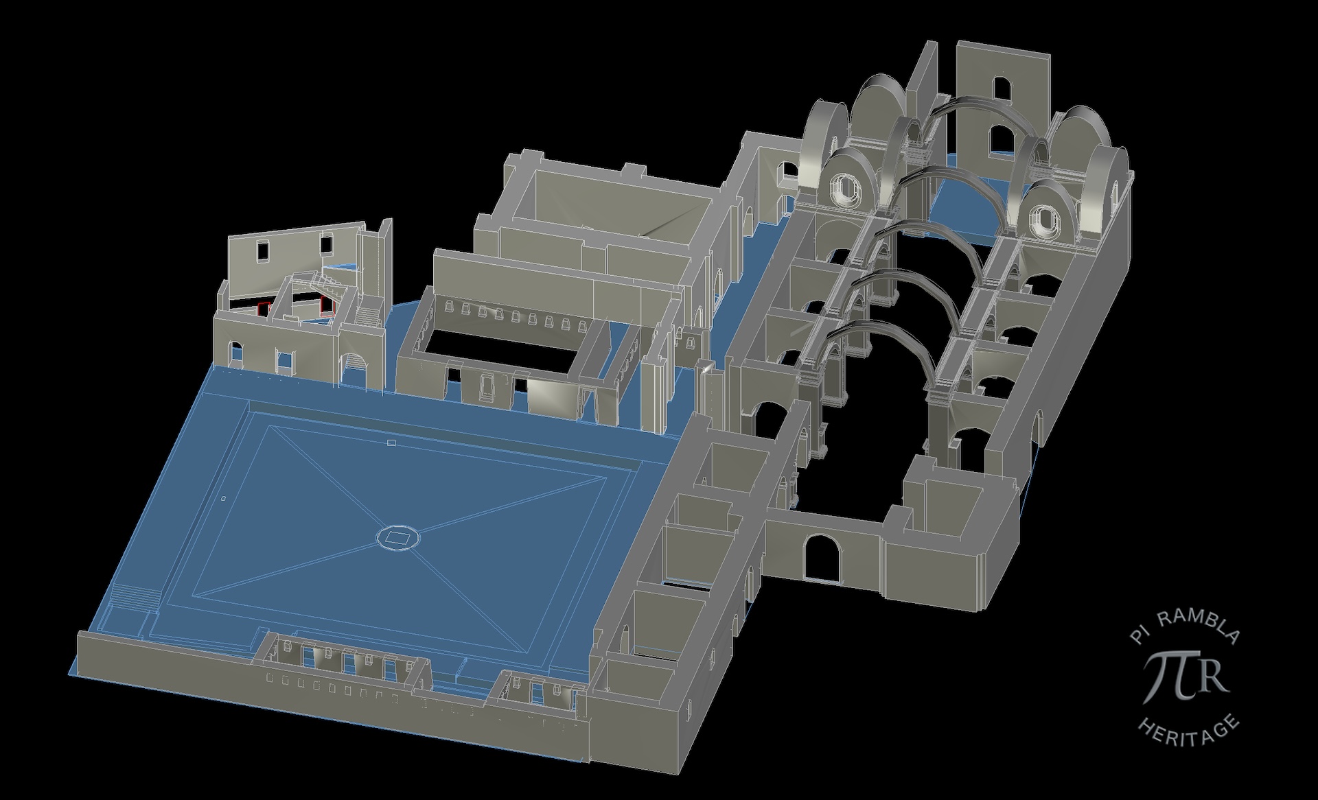
The Topographic Work and its Three-Dimensional Digitalization in AutoCAD have enabled us to create photorealistic 3D simulations: a) Three-Dimensional Simulation of the different stages the Koricancha Temple has undergone: Pre-Inca, Inca, Colonial, Republican, and Contemporary stages; based on the results of Historical, Archaeological, Architectural, and Urbanistic research conducted. b) Three-Dimensional simulation of the Chinkana route between Koricancha and Saqsaywaman.


